Urbidata · ReportaloYa
Community reports on a map, with assigned owners, status tracking and dashboards.
PostGISLeafletAngular.NETWhatsApp
Projects for local government, climate, conservation and tourism in Colombia, Mexico and the United States.
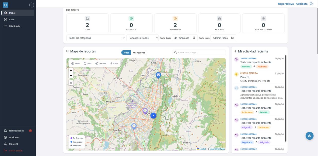
Community reports on a map, with assigned owners, status tracking and dashboards.
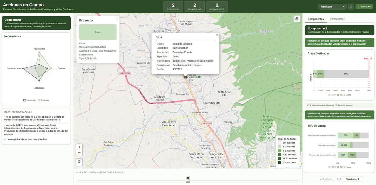
Tracking of conservation actions in biocultural landscapes, fed from field forms and measured against project goals.
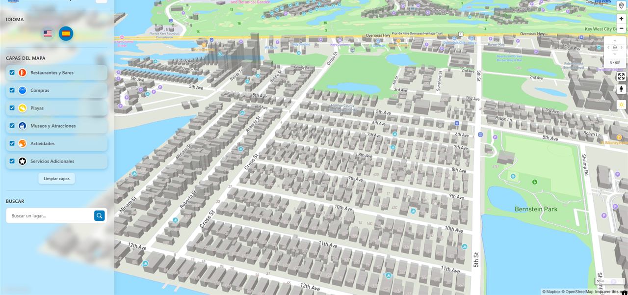
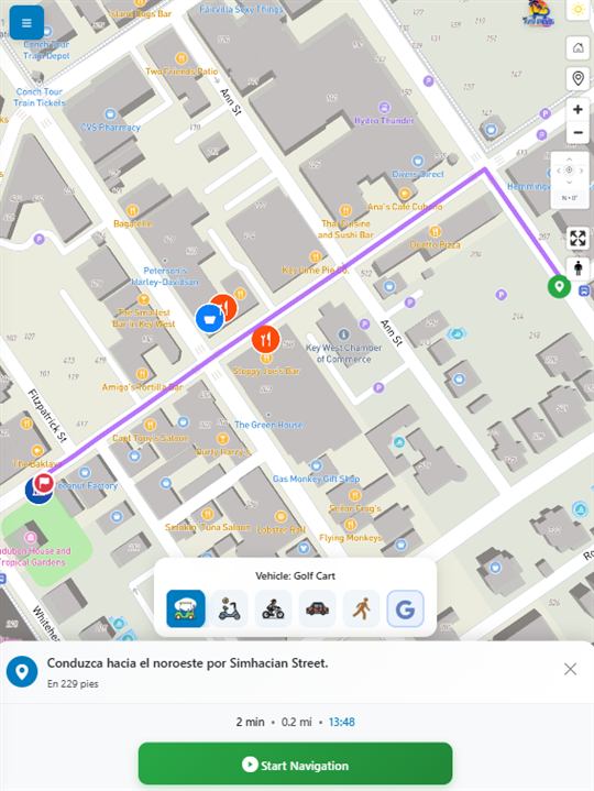
Bilingual 3D Mapbox map app with points of interest and its own turn-by-turn navigation based on the rented vehicle.
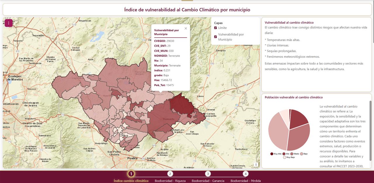
Vulnerability, risk and biodiversity maps with SSP2-4.5 and SSP5-8.5 scenarios for 2041–2060, built as guided chapters.
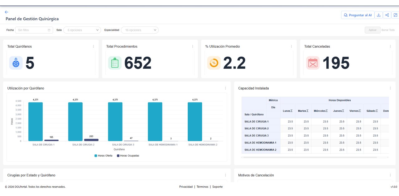
Apache Superset dashboards with an AI assistant that answers questions about the data. They work for any sector: healthcare, sales, utilities or finance.
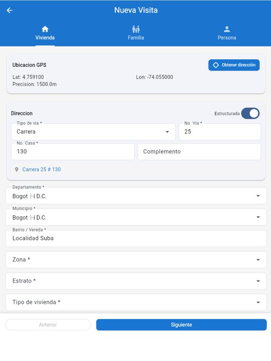
An app for primary healthcare teams to record home visits, fill in forms and place each visit on the map, even without internet. It can be adapted to other field surveys, such as sales or questionnaires.
A 16-hour online course so the GIS team at Brazil's Confederação Nacional do Transporte can build and maintain its own WebGIS applications with Mapbender.
Tell me what you need and I will send you a proposal with scope, timeline and price.