Urbidata · ReportaloYa
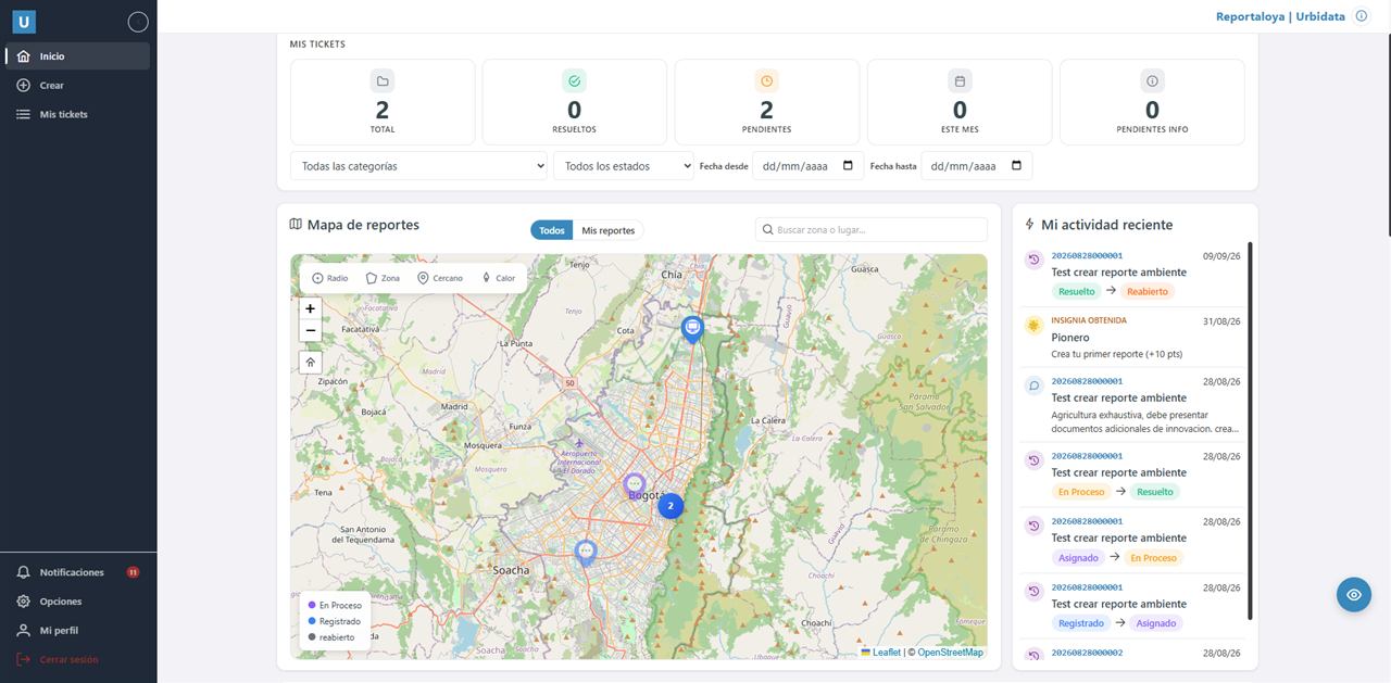
Community reports on a map, with assigned owners, status tracking and dashboards.
PostGISLeafletAngular.NETWhatsApp
Tracking of conservation actions in biocultural landscapes, fed from field forms and measured against project goals.
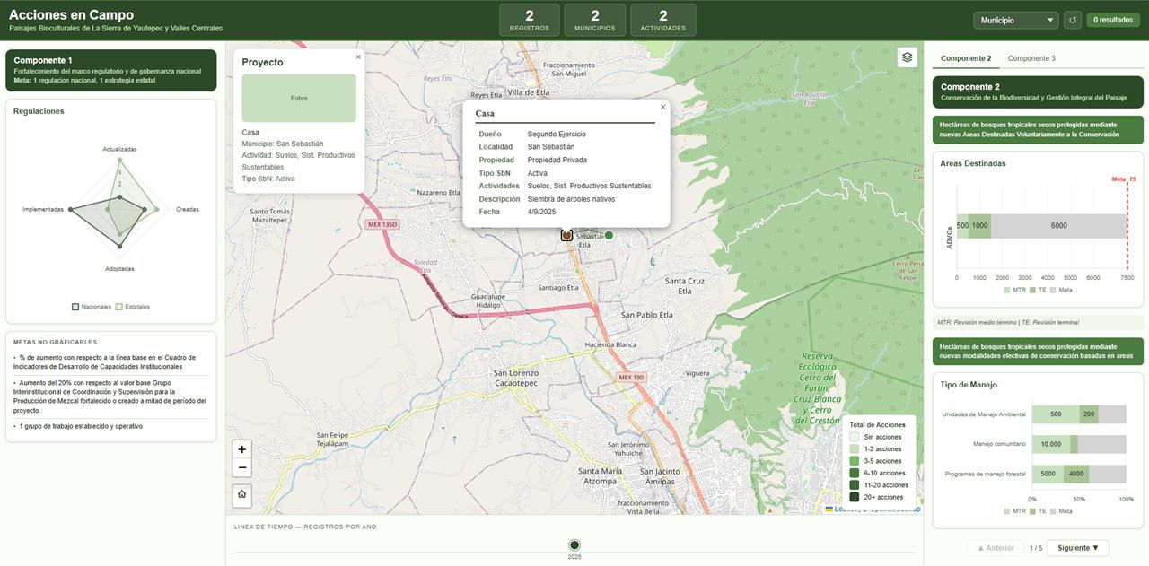
A conservation project in the Sierra de Yautepec and Central Valleys records field activities such as reforestation, soil management and sustainable production systems.
See on one dashboard where each action happens and how each component is doing against its mid-term and final targets.
Dashboard with a map by municipality, filters, a timeline and target charts per component, connected to the field data collection forms.
The project team reviews territorial progress without consolidating spreadsheets by hand.
Community reports on a map, with assigned owners, status tracking and dashboards.
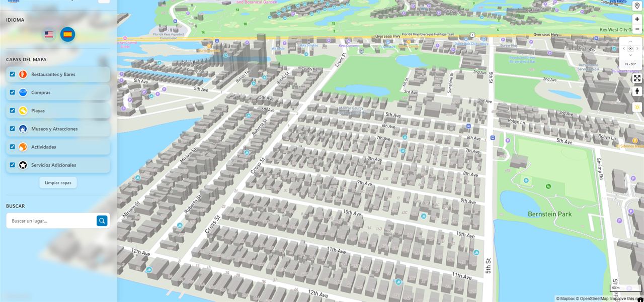
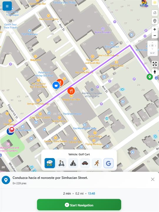
Bilingual 3D Mapbox map app with points of interest and its own turn-by-turn navigation based on the rented vehicle.
Tell me what you need and I will send you a proposal with scope, timeline and price.