GIS development services
For 17 years I have turned geographic data into web maps, services and applications that can be maintained over time.
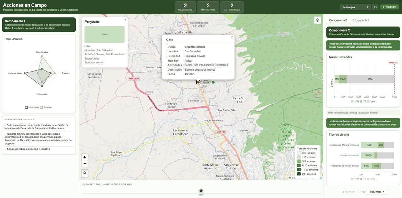
Geoportals and web map viewers
Interactive maps to publish your geographic information, with layers, filters, queries, measurements and downloads. I design the interface so anyone can use it.
- For
- Public agencies, NGOs, consulting firms and companies with geographic data.
- Includes
- Interface design, development, integration with your WMS/WFS services or databases, deployment and training.
- Stack
- Leaflet · Mapbox GL · OpenLayers · ArcGIS JS
Territorial atlases and story maps
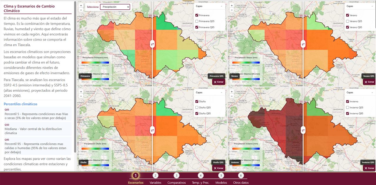
Chapters with maps, charts and text that explain risk, vulnerability, biodiversity or climate scenarios to the public and to decision makers.
- For
- Governments, environmental and climate change programs.
- Includes
- Story script, symbology, chapter viewers, scenario comparers and deployment.
- Stack
- Leaflet · GeoServer · WMS
Spatial data infrastructure
I organize and publish your data: well-indexed PostGIS databases, OGC services with GeoServer, tile caching and migrations from shapefiles or geodatabases.
- For
- Teams with scattered data or slow map services.
- Includes
- Data model, bulk loading, spatial indexes, WMS/WFS/WMTS services, SLD styles and documentation.
- Stack
- PostgreSQL/PostGIS · GeoServer · MapProxy · QGIS
Map apps and PWAs
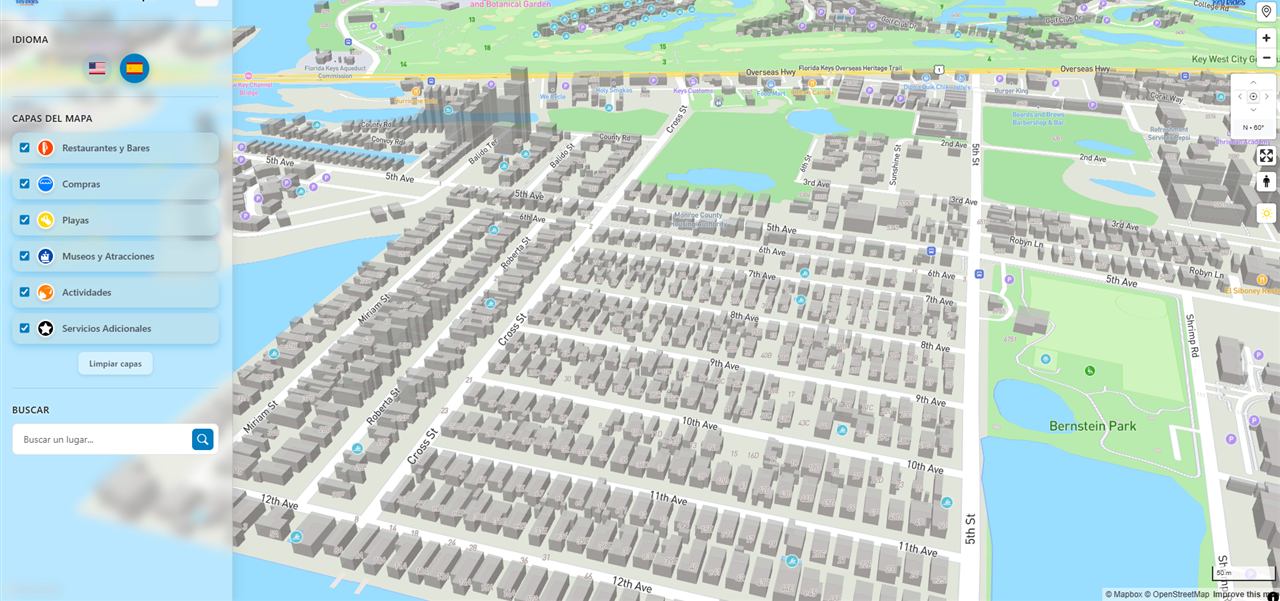
Phone apps that install without going through the app stores. They include points of interest, navigation and field data collection, and they work with a weak signal.
- For
- Tourism, mobility, fieldwork and on-the-ground services.
- Includes
- Mobile design, 2D/3D map, routing, manageable content and deployment.
- Stack
- Mapbox GL · PWA · KoboToolbox
GIS integrated with workflows
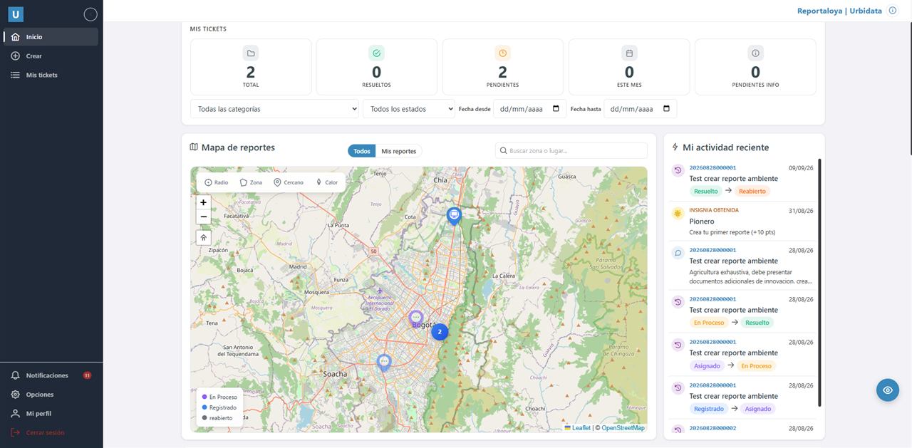
For organizations that handle cases on the ground. Each report is placed on the map, assigned to someone and measured on dashboards.
- For
- Municipalities, universities, gated communities and help desks.
- Includes
- Urbidata platform configured for your organization, or custom development.
- Stack
- PostGIS · Angular · .NET · WhatsApp
Spatial analysis and cartography
Georeferencing, geoprocessing, territorial indices and thematic maps ready for reports or publications.
- For
- Studies, territorial assessments and research projects.
- Includes
- Processing in QGIS/ArcGIS or Python, map outputs and reusable layers.
- Stack
- QGIS · ArcGIS · Python · PyQGIS
What map does your organization need?
Tell me what you need and I will send you a proposal with scope, timeline and price.