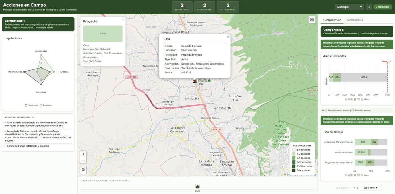
Acciones en Campo
Tracking of conservation actions in biocultural landscapes, fed from field forms and measured against project goals.
LeafletKoboToolboxGeoJSONQGIS
Community reports on a map, with assigned owners, status tracking and dashboards.
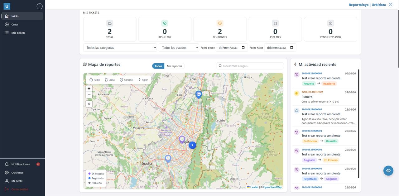
Municipalities receive reports about potholes, street lighting or waste through scattered channels: calls, social media and letters. Without precise location or tracking, it is hard to prioritize and be accountable.
Bring reports into a single georeferenced platform that serves citizens, officials and companies, and adapts to different kinds of organizations.
Multi-tenant platform with a report map, photo evidence, configurable workflows, notifications, dashboards by zone and topic, citizen gamification and a CSR board for companies. Citizens can also report via WhatsApp.
Product in commercial stage, with a test app available. It adapts to municipalities, gated communities, universities, community action boards and IT help desks.
Tracking of conservation actions in biocultural landscapes, fed from field forms and measured against project goals.
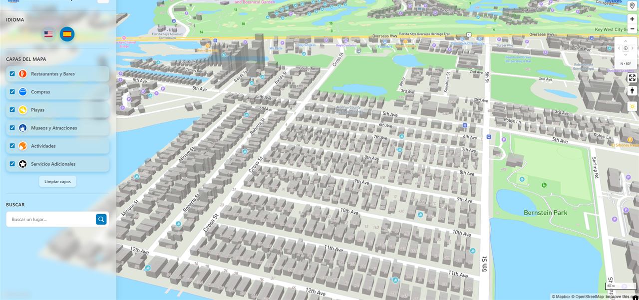
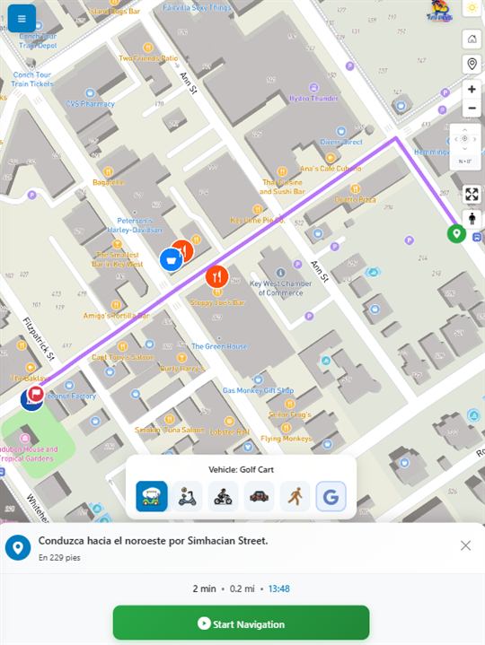
Bilingual 3D Mapbox map app with points of interest and its own turn-by-turn navigation based on the rented vehicle.
Tell me what you need and I will send you a proposal with scope, timeline and price.